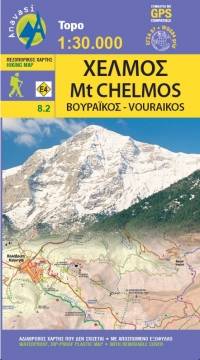
Chelmos. Vouraikos
Χελμός - Βουραϊκός
Anavasi
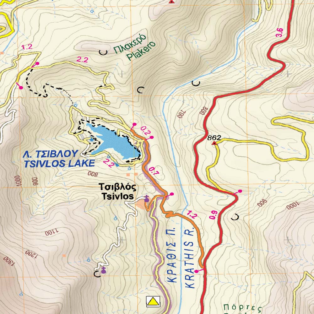
The hiking map of Chelmos covers the area in Northern Peloponnese from Lake Tsivlos and the forests of Zarouchla to the gorge of the Styx; from the source of the river Aroanios, ancient Klitoria and the Cave of the Lakes to the remains of ancient Lousii; from the fertile farmlands of the Kerinitis valley to the panoramic view of Mt Klokos - all around the visitor unfolds a landscape rich in its beauty and its history. By mistake the road connecting Ano Potamia to Ano Diakopto, appears as asphalt road on the map; in reality it is a dirt road in poor condition.
Country
Greece
Scale
1:30 000
Buy this map using free mobile app
 Traseo. Off-line Maps & Trails


No results