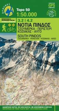
Southern Pindus: Tzoumerka. Peristeri. Koziakas. Avgo
Νότια Πίνδος, Τζουμέρκα - Περιστέρι - Κόζιακας - Αυγό
Anavasi
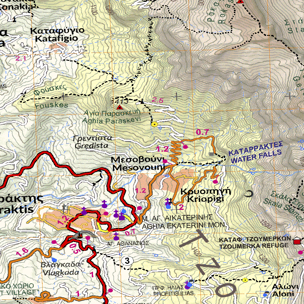
The hiking map of Southern Pindos, Peristeri - Kakarditsa - Tzoumerka - Koziakas - Avgo - Tringia. It covers a huge mountainous area that extends between the pass of Katara (and the new Egnatia highway) and the northern edge of Agrafa massif. Includes dozens of famous mountain peaks collectively called Southern Pindos. It is also known as the mountains of Aspropotamos by the legendary Aspropotamos (Acheloos river) that runs through the heart of this region through landscapes of incredible wildness. Several new paths have been added since the previous editions as well an entire mountain, Kokkinolakkas with new trails recently opened and marked . The road network has been also updated.
Country
Greece
Scale
1:50000
Buy this map using free mobile app
 Traseo. Off-line Maps & Trails