Bieszczady Mountains
Bieszczady
Compass
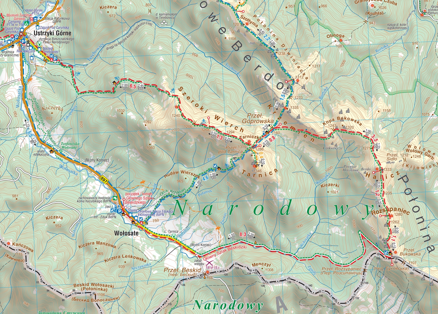
The map depicts the Polish Bieszczady mountains, which are part of the Eastern Carpathians, spreading over the Slovak, Polish and Ukrainian borders. Map range: Lesko and Ustrzyki Dolne to the north, Komańcza to the west, the Ukrainian border to the east. The map also presents part of Národný park Poloniny (Poloniny National Park) in Slovakia.
Country
Poland, Slovakia
Scale
1:50 000 - 1:200 000

No results

