Lower Silesian cycling region
Galileos
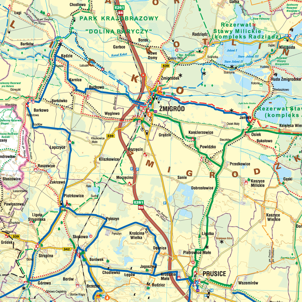
The map covers the Lower Silesian Cycling Region, i.e. the territory of the Górowski, Třebnik and Milicki districts, as well as the communes of Wołów, Twardogóra and Dobroszyce. All walking, cycling, horse riding and canoeing trails as well as nature and educational paths have been marked here. Particularly highlighted are the existing cycle tracks, those under construction and those planned for the future. The map includes tourist and nature attractions and accommodation facilities. Additionally, cycling-friendly places have been marked. The descriptive part illustrated with photographs covers the map's area by region, selected cycling routes and a brief description of cyclist-friendly places.
Country
Poland
Scale
1:110000


