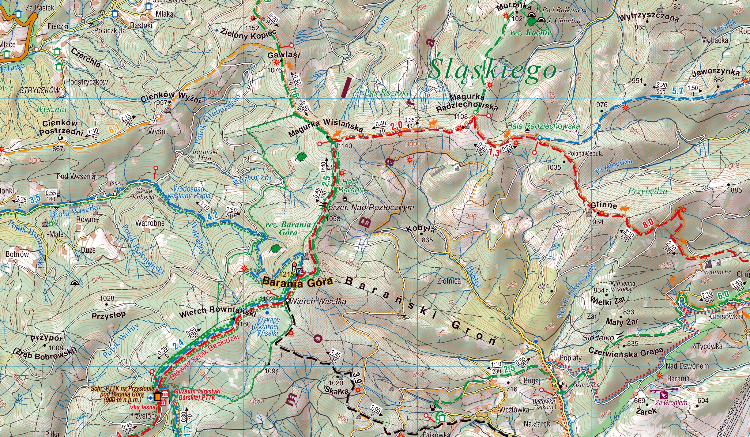
Silesian Beskids, Żywiec Beskids
Beskid Śląski i Żywiecki
Compass
The map depicts part of the Polish Carpathian Mountains in Silesia region: Beskid Śląski (Silesian Beskids) and Beskid Żywiecki (Żywiec Beskids). The map range: Maków Podhalański to the east, Skoczów to the west, Bielsko-Biała to the north, Czech and Slovak border to the south. Hiking trails, accomodation and food facilities, and tourist attractions are marked on the map.
Update: 2017
Country
Poland
Scale
1:50 000

No results

