Wrocław and Its Close Vicinity. South-Western Part
Bliskie okolice Wrocławia. Część południowo-zachodnia
Galileos
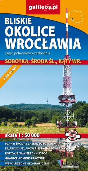
Map in detailed scale range: Wrocław city center to the east, Środa Śląska to the west, Słupice, Kełczyn, Oleszna and Radzików to the south, Ligota Piękna, Gosławice and Brodno to the north. A lot of information useful for tourists is marked on the map: monuments, accomodation facilities, protected areas, cycling and walking trails, as well as street names and the type of road surface.
Country
Poland
Scale
1:50000
Buy this map using free mobile app
 Traseo. Off-line Maps & Trails


No results