Northern Mazury
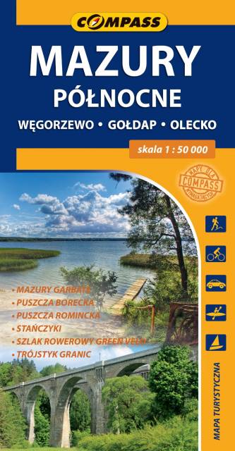
Mazury Północne
Compass
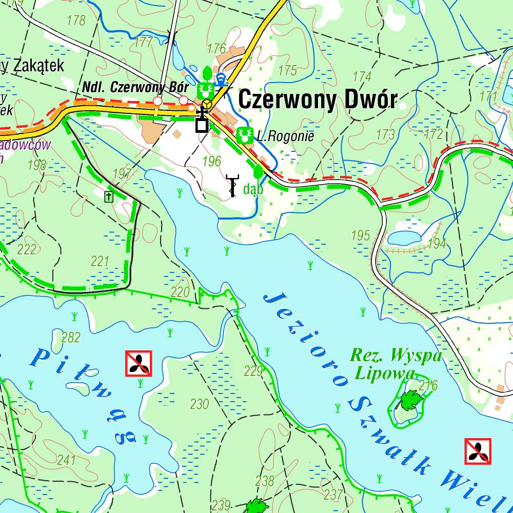
The map covers the borderland of Masuria spreading from Węgorzewo to the contact point of three borders: Polish, Lithuanian and Russian, and the part of Hunchbacked Masuria spreadind below Olecko. The map range: Polish and Russian border to the north, Węgorzewo to the west, Kruklanki and Gąski to the south, Bakałarzewo to the east. There are all well-known tourist attractions marked on the map, e.g. Puszcza Borecka (Borki's Forest), Puszcza Romincka (Romincka Forest), Stańczyki, where two large railway viaducts can be seen, and Gołdap health resort. Cyclists will find on the map the detailed track of Green Velo - the longest cycling route in Poland.
Country
Poland
Scale
1:50 000
Buy this map using free mobile app
 Traseo. Off-line Maps & Trails


No results