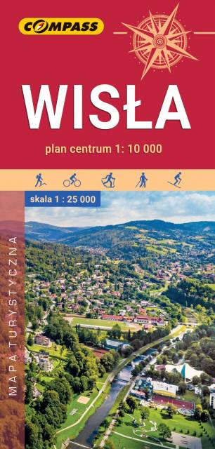
Wisła
Compass
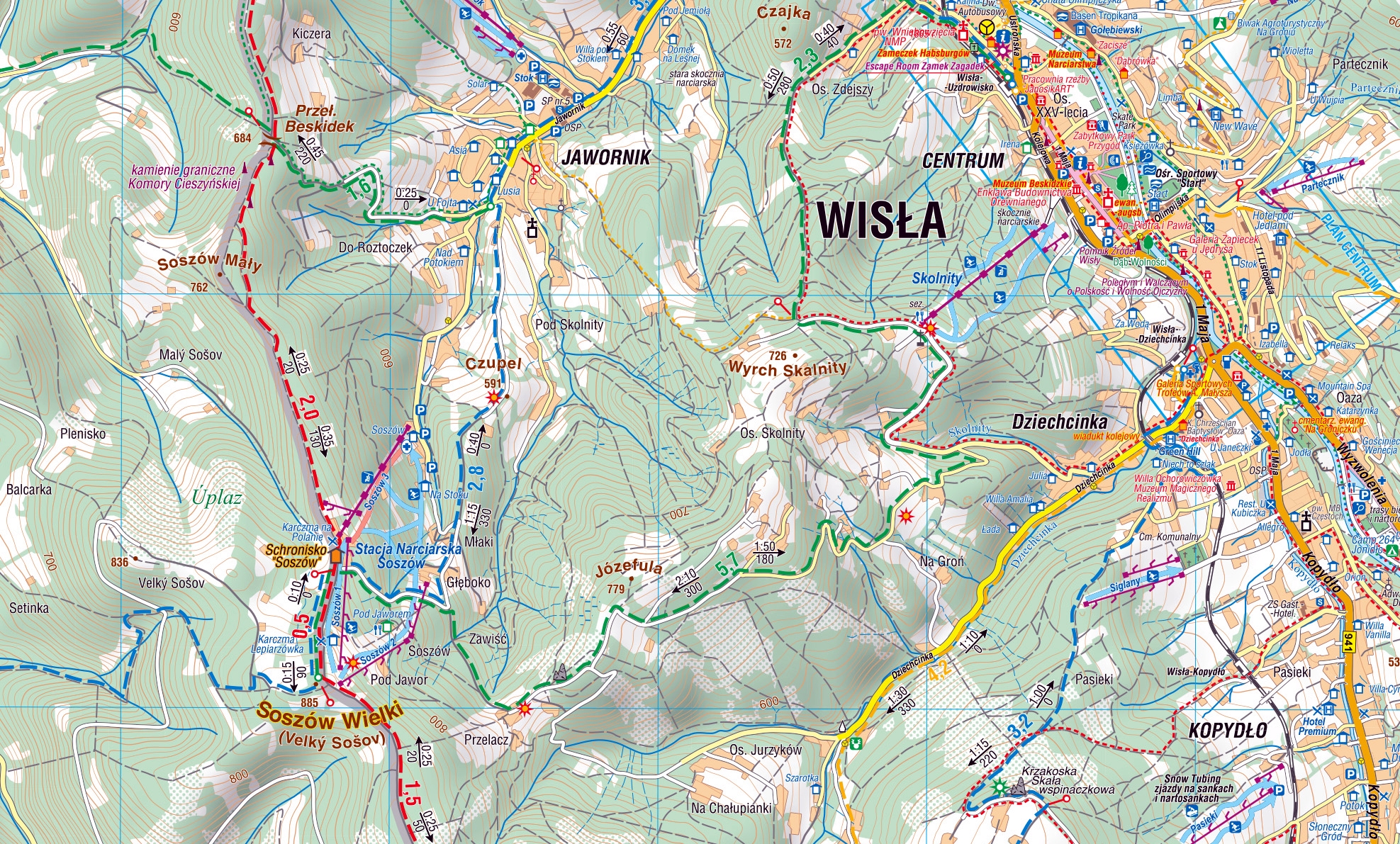
The map depicts the surroundings of an interesting tourist town located in the Silesian Beskid. The range of the map is marked by: Ustroń in the north, Wielka Czantoria in the west, Istebna in the south and Barania Góra in the east. The area around Wisła is famous for its numerous hiking and cycling trails and attractive cross-country skiing routes. There are more than 20 modern ski lifts as well as numerous sports and recreation centres.
The map also includes a plan of the centre of Wisła at a scale of 1:10'000 and descriptions of the main attractions along with a contact information (accommodation, offices, transport, culture, recreation). The offline map can be purchased from the Traseo app for mobile devices. Year of publication 2019
Country
Poland
Scale
1:25 000
Buy this map using free mobile app
 Traseo. Off-line Maps & Trails