Powiśle and Kociewie - eastern part
Eko-Kapio
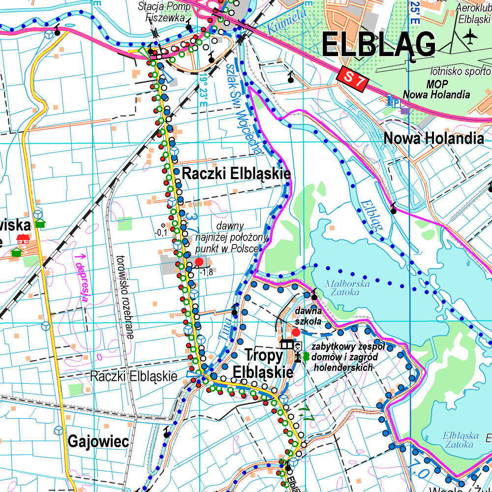
The map of Kociewie and Powiśle in the eastern part covers the area enclosed by Biała Góra in the west, Kwidzyn in the south and Elbląd in the north-east. The map provides a detailed depiction of the area, including trails and tourist attractions. On the map of Powiśle and Kociewie you will find, among others, the Żuławy Trail, the Kopernikowski Trail, and the R1 International Cycling Trail.
Kociewie is an ethnographic and cultural region in Gdańsk Pomerania, located on the left bank of the Vistula River in the Wda and Wierzyca river basins, covering the eastern part of the Tuchola Forest. Approximately Kociewie is located in the area of the present Starogardzki, Tczewski and northern part of Świecki counties, inhabited by approximately 350,000 people. Some of the region's inhabitants speak a Kocievian dialect.
Country
Poland
Scale
1:60000
Buy this map using free mobile app
 Traseo. Off-line Maps & Trails