Pieniny and Spiš Magura
Pieniny a Spiššká Magura
DPA
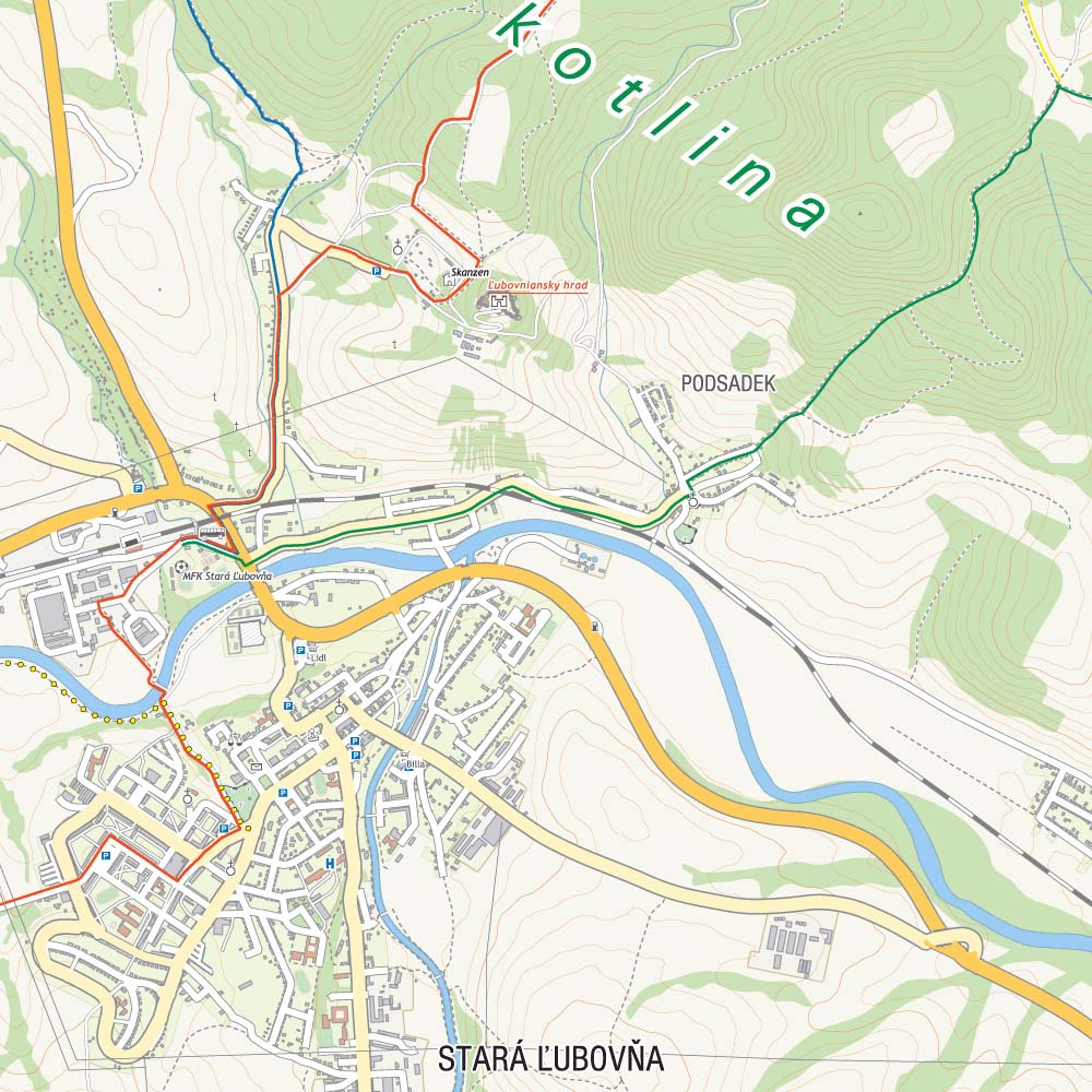
The map presents slovak part of Pieniny Mountains and Spiššká Magura, which is situated north-east from Tatra Mountains. The map range: Spišská Belá to the south, Ždiar to the west, Ruská Voľa nad Popradom to the east and Polish-Slovak border to the north.
Published: 2016/2017
Country
Slovakia
Scale
1:50 000
Buy this map using free mobile app
 Traseo. Off-line Maps & Trails


No results