Low Tatras
Nízke Tatry
DPA
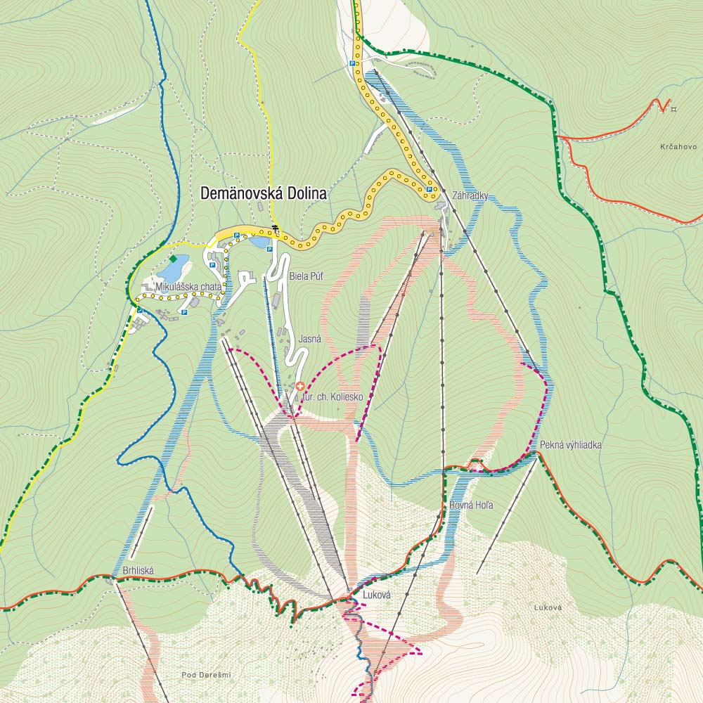
The Low Tatras is a mountain range of the Inner Western Carpathians in central Slovakia. It is located south of the Tatras proper, from which it is separated by the valleys of the Váh and Poprad rivers. The valley formed by the Hron River is situated south of the Low Tatras range. The ridge runs west-eastwards and is about 80 km long. The highest peaks of the Low Tatras are located in its western part. Ďumbier is the highest mountain at 2,042 m. Its neighbour Chopok (2,024 m) is accessible by a chairlift, and it is the most visited place in the Low Tatras. The map also presents western part of Muránska planina region.
Published: 2016/2017
Country
Slovakia
Scale
1:50 000
Buy this map using free mobile app
 Traseo. Off-line Maps & Trails


No results