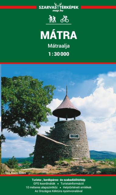
Mátra
Mátra, Mátraalja turista és biciklis térkép
Szarvas
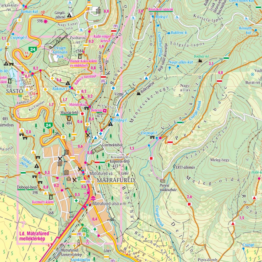
The Mátra is a mountain range in northern Hungary, between the towns Gyöngyös and Eger. The country's highest peak, Kékestető (1014 m), belongs to this mountain range. The Mátra is part of the North Hungarian Mountains. It is situated between the valleys of River Tarna and River Zagyva. The Mátra can be divided into several readily distinguishable parts. The highest point of the Western Mátra is Muzsla (805 m). The Central Mátra consists of the plateau of Mátrabérc (Mátra ridge) and the groups of the volcanic cones of Galyatető and Kékestető. Steep, rugged slopes, screes, talus slopes and slides alternate with one another, covered with closed beech forests. Gentler slopes and parallel valleys flow down to the south, the largest of which is the so-called Nagy-völgy (Great Valley). The 'main entrance' to the Mátra was formed in parallel with the valley of Nagy-patak (Great Stream), ranging from Mátrafüred to Mátraháza. From the vineyard-covered landscape of the foot of the Mátra travellers can arrive at the wooded mountains in a flash. To the east, after the steep escarpment of the 898-metre-high Saskő (Eagle Stone), the 650-750-metre-high peaks of the Eastern Mátra follow one another. The northern part of the mountain range is called Mátralába (the Mátra's feet). This is a hilly area covered with 250-400-metre-high small volcanic cones, with mostly cultivated arable lands.
Country
Hungary
Scale
1:30 000
Buy this map using free mobile app
 Traseo. Off-line Maps & Trails