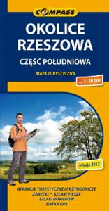
Rzeszów Region. South Part
Okolice Rzeszowa. Część południowa
Compass
The map depicts the central part of Podkarpackie Voivodeship in Poland, south from Rzeszow. The map range: Rzeszów to the north, Ropczyce and Krosno to the west, Brzozów to the south, Przeworsk to the east. The map covers also Pogórze Strzyżowskie (The Strzyżów Piedmont), Pogórze Dynowskie (The Dynów Piedmont) and part of Pogórze Przemyskie (The Przemyśl Piedmont). This is still a relatively unknown region among tourists.
Country
Poland
Scale
1:50 000
Buy this map using free mobile app
 Traseo. Off-line Maps & Trails


No results