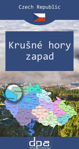
Ore Mountains Range. Western Part
Krušné hory zapad
DPA
The map presents western part of The Ore Mountains or Ore Mountains Range (Czech: Krušné hory) in Central Europe, which have formed a natural border between Saxony and Bohemia for around 800 years, from the 12th to the 20th centuries. Today, the border between Germany and the Czech Republic runs just north of the main crest of the mountain range. The highest peaks are the Klínovec (German: Keilberg), which rises to 1,244 metres above sea level and the Fichtelberg (1,215 metres). The culture of the Ore Mountains was shaped mainly by mining that goes back to the Middle Ages.
Country
Czech Republic
Scale
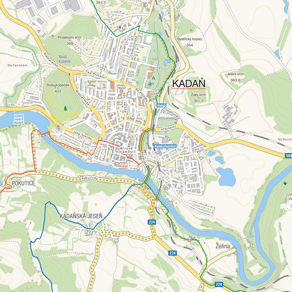
1:50 000
Buy this map using free mobile app
 Traseo. Off-line Maps & Trails


No results