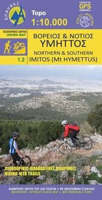
Northern and Southern Imitos
Υμηττός
Anavasi
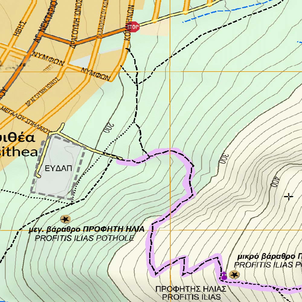
The digital hiking map of Southern Imitos extends between Ilioupoli, Argyroupoli, Glyfada, Voula and Koropi. Hiking and cycling routes are proposed and shown in detail. The mountain s points of interest such as caves, sinkholes and archaeological sites are pinpointed on the map.
Country
Greece
Scale
1:10 000
Buy this map using free mobile app
 Traseo. Off-line Maps & Trails


No results